Politecnico di Milano
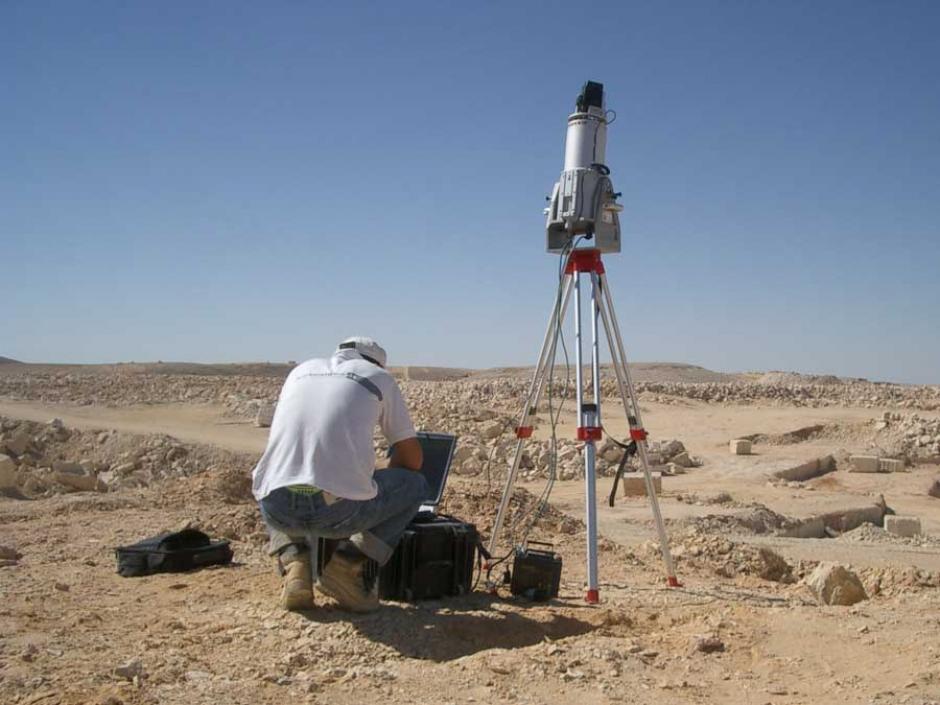
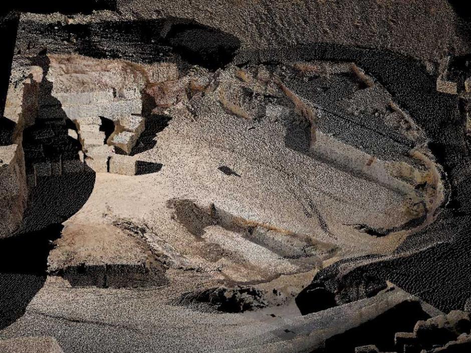
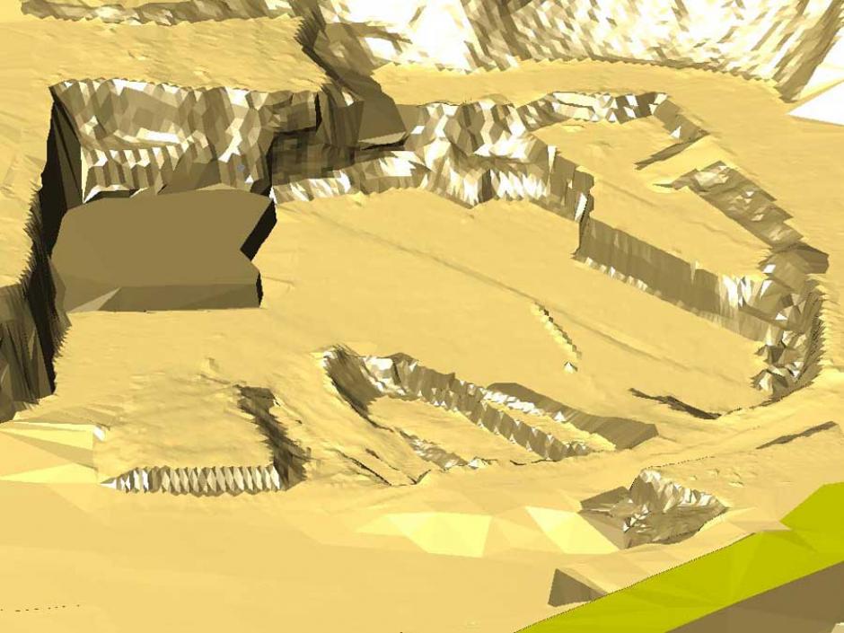
At the Politecnico di Milano S.P.A.R.T.A. gave a lecture on "Laser scanning, processing of data and reverse modeling for geo-environmental monitoring" in the educational seminar, dedicated to the "Use of laser scanner in geo-environment monitoring", that was organized by the Department of civil and environmental engineering. For monitoring and planning the territory S.P.A.R.T.A. showed several examples obtained with specific software technologies to process, 3D model, represent, and analyze the data acquired by laser scanning (CloudCUBE and EasyCUBE, developed by Virtualgeo s.r.l.). Those technologies allow you to model laser data (point clouds) with different techniques, depending on the morphology of the surveyed area, to obtain complex 3D models, corresponding to the real, precise, small-sized (so that they can be managed by any computer) and segmented (according to the operational needs of the end user, e.g. for components, materials, stratigraphic units; or topographic, geological, geographical elements, etc.). In addition, those software allow you to carry out various operations on the 3D information models: draw automatically two-dimensional graphic representations (plans, sections, and elevations); compute values of areas, volumes, angles, slopes, and distances in few seconds; perform metrological investigations (on deformations); produce visual simulations (even in 3D) suitable for communicating and disseminating the projects to the public.